

SKU:
Hi-Lidar Postprocessing Software for PC
Regular price
RM4,300.00
Sale price
RM4,300.00
Regular price
RM4,300.00
Unit price
per
Sale
Sold out
Shipping calculated at checkout.
Couldn't load pickup availability
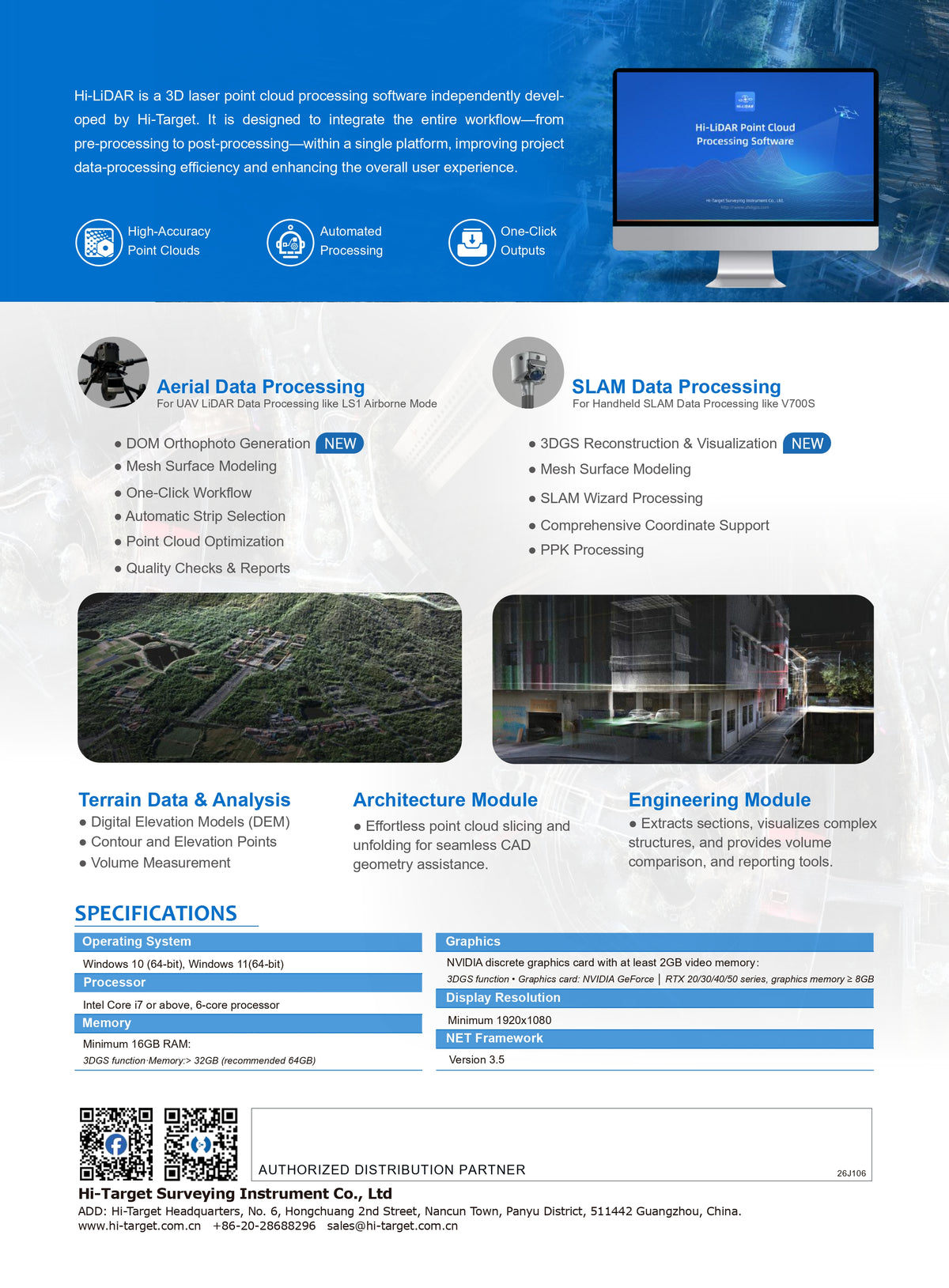
Hi-LiDAR
Hi-LiDAR is a 3D laser point cloud processing software independently developed by Hi-Target. It is designed to integrate the entire workflow—from pre-processing to post-processing—within a single platform, improving project data-processing efficiency and enhancing the overall user experience.
With five powerful modules — Aerial Data Processing, SLAM Data Processing, Terrain Data & Analysis, Architecture Module, and Engineering Module — Hi-LiDAR delivers a unified point cloud processing solution.
With five powerful modules — Aerial Data Processing, SLAM Data Processing, Terrain Data & Analysis, Architecture Module, and Engineering Module — Hi-LiDAR delivers a unified point cloud processing solution.
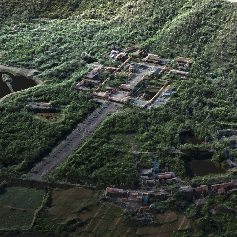
Aerial Data Processing
For UAV LiDAR Data Processing like LS1 Airborne Mode
● DOM Orthophoto Generation
● Mesh Surface Modeling
● One-Click Workflow
● Automatic Strip Selection
● Point Cloud Optimization
● Quality Checks & Reports
● Mesh Surface Modeling
● One-Click Workflow
● Automatic Strip Selection
● Point Cloud Optimization
● Quality Checks & Reports
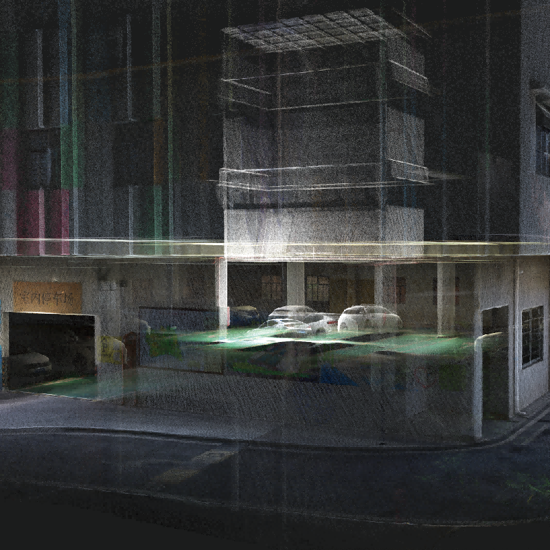
SLAM Data Processing
For Handheld SLAM Data Processing like V700S● 3DGS Reconstruction & Visualization
● Mesh Surface Modeling
● SLAM Wizard Processing
● Comprehensive Coordinate Support
● PPK Processing
● Mesh Surface Modeling
● SLAM Wizard Processing
● Comprehensive Coordinate Support
● PPK Processing
Payment methods
Payment methods