Few decades ago, farming operations look very different from how farms are operated now. Farmers optimses their operations such as crop spraying, growth cycles, and crop heath care with new technologies.
The drastic transformation is mostly being driven by drones and other kinds of aerial vehicles (UAV). Mission planning, physical task, and in-depth data analysis can be tasked to agriculture drone my farmers.
Both large scale farming organisation and independent farmer will benefit from drone technology. Drone is able to help farmers to achieve harvest goal, yielding more crops will less resource. Popular uses of drones to help farming are efficient crop spraying and field mapping; this requires the appropriate UAV and attached payload.
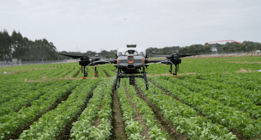
 The Agras T10
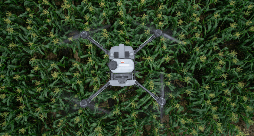
Spraying a field with a UAV
DJI Agras line spraying drones can be used to efficiently spray-distribute the plantation with the common crop liquid.
- Desiccants
- Seeds
- Fertilizer
- Pesticide
- Fungicide
- Herbicide
Farmers who are using manual labour will face the challenge of uneven concentration distribution. This potentially using excessive amount of crop chemicals on a small area instead of even distribution throughout the whole field. Accidental low concentration of herbicide may also causes ineffective dosage on the pest and weed, potentially decrease the produce quality and yield.
However, a good drone and spraying payloads specialised for farming will be able to distribute the crop chemicals efficiently and evenly. As a result, farmers can see improvement on higher yield rate, crop quality, and reduction in manual labor.
DJI agriculture drones can be used on nearly any kind of crop, including corn, wheat, rice, citrus trees, cotton, more.

Drones cover more land at a lower cost, major environmental benefits will be offered from drone spraying. Efficient distribution of pesticides achieves desired outcome with the expected input needed. Seeding with UAV will also help efficiently distribute the land are to avoid wasting space.
Using drones to gather data for precision agriculture
Smart seeding and spraying increase overall agricultural efficiency, reduce costs, or increase yields. Drones can create new insights with area mapping, helping future planning and crop cycle strategy.
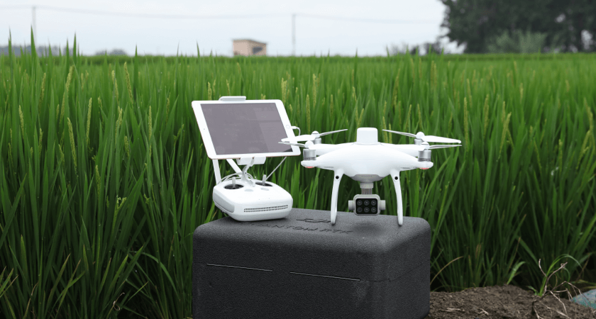
 The P4 Multispectral
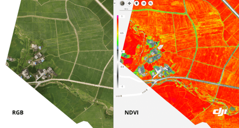
Remote sensing technology detects radiation from the ground and able to track physical structure and heat generated from the area. Multispectral imaging is used by the best agriculture mapping drones, capture visible and invisible light in different spectrum. This kind of agricultural drone is able to create 2 key types of maps:
- RGB maps: A next level birds-eye view, Red Green Blue (RGB) map provides a detailed information on the field. RGB map provides you the exact details of the land area in centimeter you have to used, helpful for extended period of crop monitoring throughout the seasons.
- NDVI maps: Normalized Difference Vegetation Index (NDVI) shows the infrared light reflected from an area, indicating drought malnourishment. This allow farmers to spot crop damage 2 weeks prior physical signs emerge, which is an invaluable tool for farmers to monitor their production.

DJI Agriculture equips operators with cutting-edge technology as well as innovative workflows, making farming more efficient than ever.


